

Consultancy
🌱 Carbon Neutrality Analysis
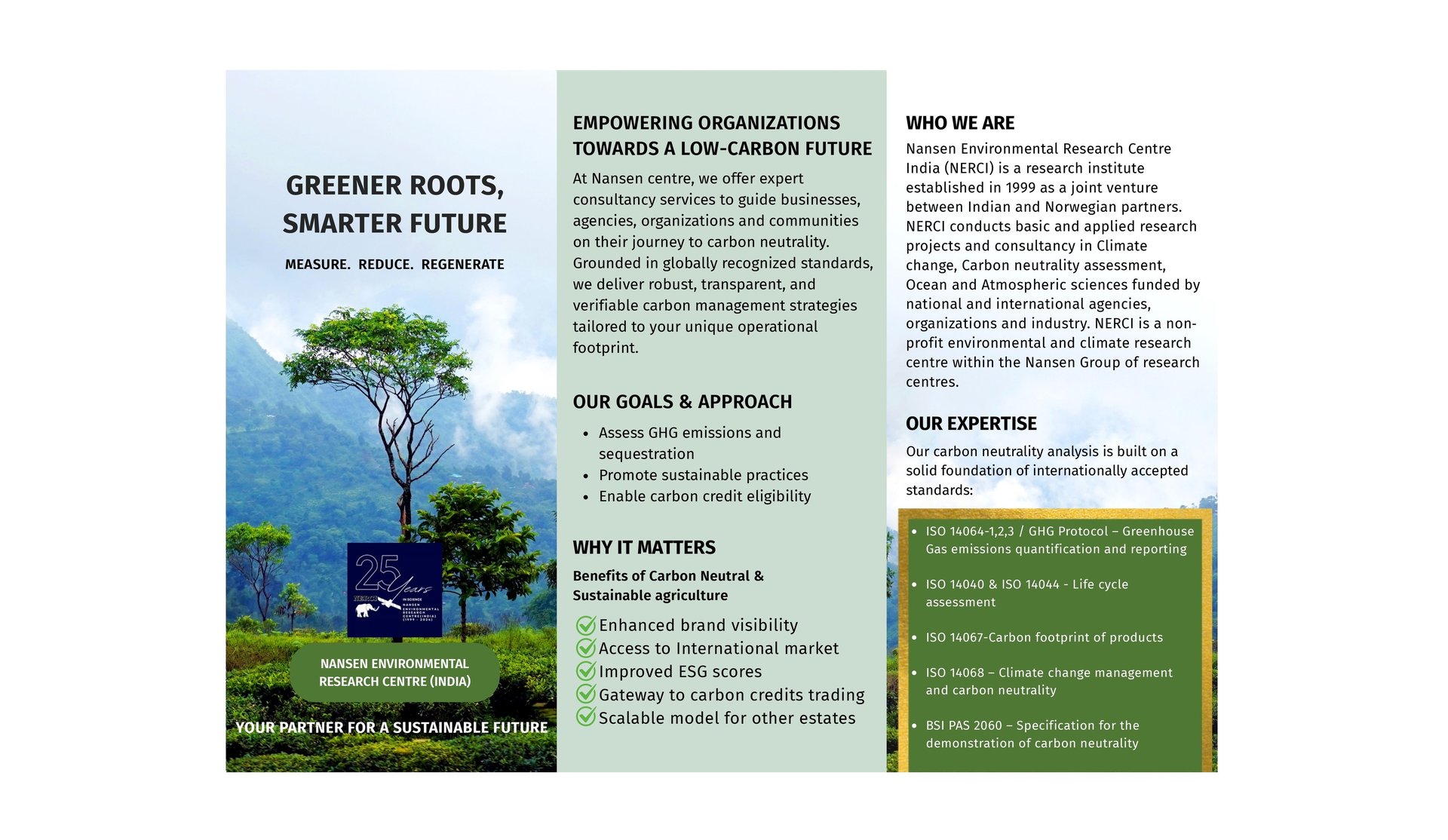
Empowering Organizations Towards a Low-Carbon Future
At Nansen center, we offer expert consultancy services to guide organizations, institutions, and communities on their journey to carbon neutrality. Grounded in globally recognized standards, we deliver robust, transparent, and verifiable carbon management strategies tailored to your unique operational footprint.
🔍 Our Expertise
Our carbon neutrality analysis is built on a solid foundation of internationally accepted standards:
BSI PAS 2060 – Specification for the demonstration of carbon neutrality
ISO 14068 – Climate change management and carbon neutrality (upcoming ISO standard)
ISO 14064-1 / GHG Protocol – Greenhouse Gas emissions quantification and reporting
We ensure that your organization not only meets compliance standards but also leads with credibility in sustainability reporting and climate action.
🔧 What We Offer
1. Carbon Footprint Assessment
Scoping and boundary setting (Scope 1, 2 & relevant Scope 3 emissions)
Data collection and emissions calculation using ISO 14064-1 and GHG Protocol
Sector-specific emission factors and custom datasets integration
2. Carbon Neutrality Strategy Development
Identification of reduction opportunities across operations and supply chains
Emissions reduction roadmaps aligned with net-zero ambitions
Integration of renewable energy, efficiency measures, and sustainable practices
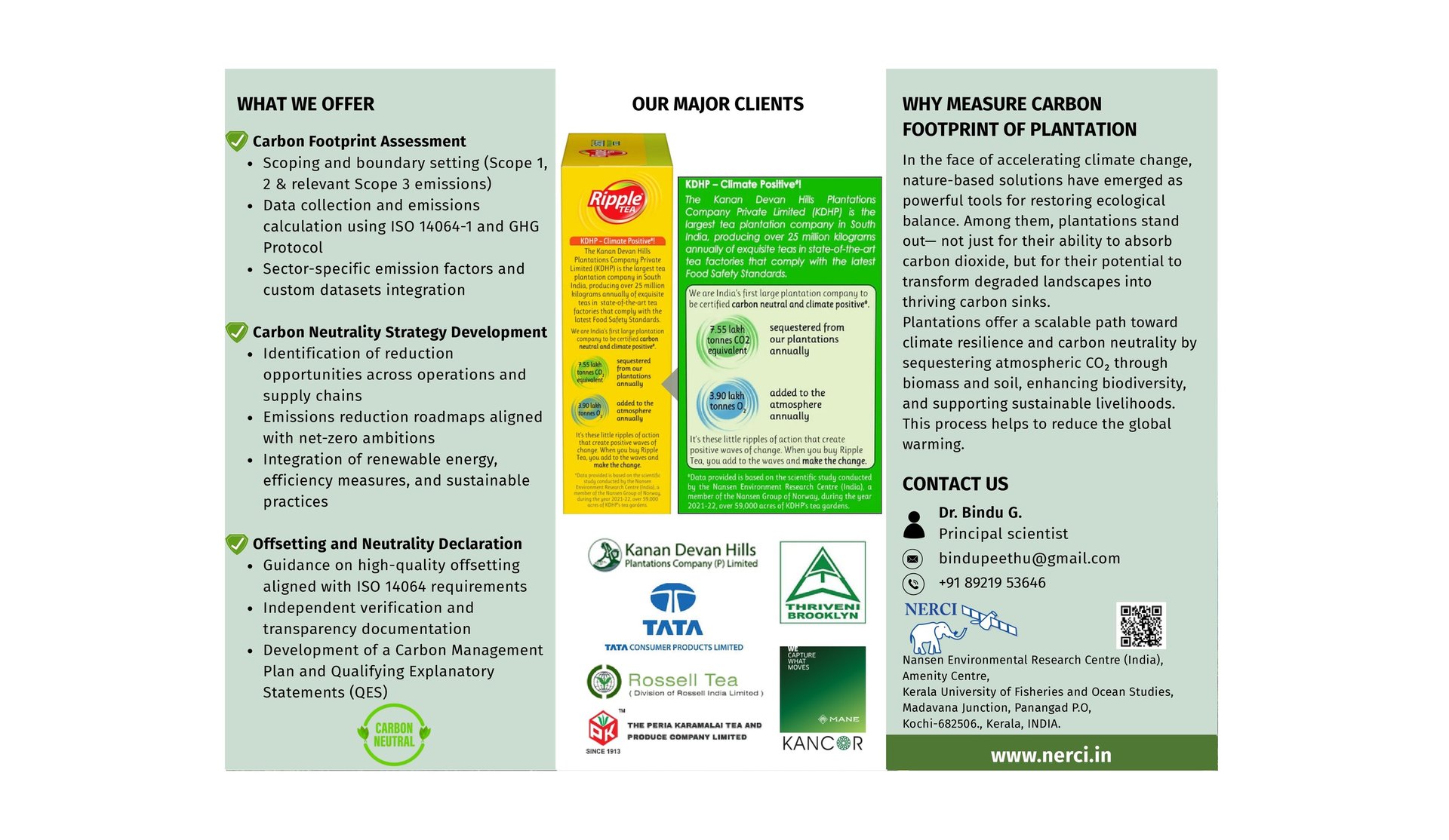
3. Offsetting and Neutrality Declaration
Guidance on high-quality offsetting aligned with PAS 2060 requirements
Independent verification and transparency documentation
Development of a Carbon Management Plan and Qualifying Explanatory Statements (QES)
Our clients


Environmental impact assessment on harbor development, Planning for sustainable coastal development within the guidelines of Coastal Regulation Zone Acts. Pollution monitoring and forecasting, Water quality improvement in canals and lakes using eco-friendly techniques and non conventional energy resources. Coastal erosion monitoring and forecasting.


Satellite Remote Sensing and GIS Applications
Satellite remote sensing offers the capacity of relatively inexpensive, regular and global monitoring of oceans and coasts. NERCI involves in Satellite remote sensing data analysis and interpolation for ocean and coastal zone applications, Development and validation of algorithms for satellite remote sensing data analysis in combination with field experiments.
The upwelling associated with the southwest monsoon persists during August is imaged here along with presence of colder waters as observed along the prominent upwelling sites of Somali and Arabian Coast and the adjoining areas also exhibit lower SSH. During this month warmer waters are observed in Bay of Bengal and in the central Indian Ocean.
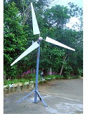
The development, validation, and demonstration potential of satellite-based Synthetic Aperture Radar (SAR), scatterometer and altimeter data to map wind energy in offshore and near-coastal regions for potential wind mill siting.


Satellite-based Synthetic Aperture Radar (SAR) measurements from the European ERS-2, the Canadian RADARSAT and also ENVISAT, can be used for wind energy mapping in coastal regions for wind mill siting in India. The SAR has clear advantages for high spatial resolution (400 m) wind field mapping since it is independent of daylight and clouds. The increasing spatial coverage and temporal resolution makes satellite SAR a very interesting method for wind energy mapping. The wind maps generated from the SAR will be able to provide spatial information about wind energy at 10 m height in the vertical plane.


Appropriate Technology for sustainable Environment Development
Coastal sea-inlet-estuary systems forms a major part of the coastal zone and is essential for many economic activities and management. High resolution numerical ocean models optimized through assimilation of remote sensing data and field measurements are used to monitor and forecast the coastal environmental parameters and processes primary productivity, algae blooms, pollutants, sediment dynamics and coastal erosion.
All the core R&D areas namely, Numerical Ocean modeling, Remote sensing applications and Coastal zone management of the centre are clubbed under one umbrella of Appropriate Technologies for Sustainable Environment Development for the betterment of society and mankind. It includes rural development, impact assessment studies, pollution monitoring and abatement techniques for water bodies, Solid waste management and utilization for reducing water pollution through promotion of eco-tourism. The research objectives of this area of activity can be achieved through the following deliverables like proper resource management for the coastal and rural communities, policy formulations for Disaster management and mitigative measures, conducting Environmental awareness campaigns, and practice of traditional methods for resource utilization for sustainable environmental development.


Water quality improvement using wind induced aerator system
This has been developed by NERCI-CEREM-TocH consortium to improve the water quality to reduce the BOD and COD for inland waterways and stagnated water bodies in the coastal and lake regions using the wind energy.

Location
Nansen Environmental Research Centre (India),
Amenity Centre,
Kerala University of Fisheries and Ocean Studies,
Madavana Junction, Panangad P.O,
Kochi-682506., Kerala, INDIA.


25 years in Climate, Ocean & Environmental Research
© 2025 Nansen Centre. All Rights Reserved.
Powered by Mapstrix Solutions
Nansen Research Fellows